
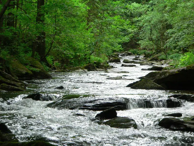
Woodland and water in the Bavarian Forest

Bavarian Forest · Passau countryside

So much to explore outdoors.

From Lake Rannasee and the Danube slopes to Passau: from here, days by the water, in the forest and further afield are close by.

Discover days out

Simply set off

A day by the lake. A path through the forest. A trip into town.

We are in the southern Bavarian Forest, close to Austria. For your holiday in Lower Bavaria, explore short walks, days at Lake Rannasee and trips to Passau. Our guest guide shares our tips for the surrounding area.

  1. 01

    Lake Rannasee

    A destination for warm days by the water, with a beach, lawns and family-friendly facilities.

  2. 02

    Woodland & paths

    Panoramic paths and marked routes around Untergriesbach suit both short walks and longer days out.

  3. 03

    Passau countryside

    Nature centres, a visitor mine, granite and the three-river city of Passau point each holiday day in a different direction.

Hiking near Passau

Hiking around Untergriesbach, Lake Rannasee and the Bavarian Forest.

From a short lakeside loop to a longer pilgrimage stage: these selected routes show the variety of the southern Bavarian Forest around our holiday farm.

  1. easy · Komoot

    Lake Rannasee – lakeside playground loop

    A short lakeside loop for an easy walk by the water – ideal when you want to combine hiking with a day at Lake Rannasee.

    View route details (external site, new tab)
    Distance
    3.7 km
    Duration
    about 1 hour
    Elevation
    about 50 m ascent
  2. easy · Komoot

    Wayside cross & Ebenstein Chapel loop

    This easy loop from Gottsdorf combines field and woodland paths with a historic wayside cross and Ebenstein Chapel.

    View route details (external site, new tab)
    Distance
    5.7 km
    Duration
    about 1 hr 39 min
    Elevation
    about 145 m ascent
  3. moderate · Komoot

    Bachhäuslbrückl & small waterfall loop

    A popular loop from Untergriesbach with a bridge and small waterfall – for guests with more time and a good level of fitness.

    View route details (external site, new tab)
    Distance
    11.4 km
    Duration
    about 3 hr 21 min
    Elevation
    about 335 m ascent
  4. moderate · T2 · Outdooractive · Alpenverein Linz

    Ranna Reservoir circular hike

    Field tracks, meadows and woodland paths lead to the Ranna Reservoir. Some narrow secured crossings require sure-footedness and can be slippery when wet.

    View route details (external site, new tab)
    Distance
    14.8 km
    Duration
    about 4 hr 30 min
    Elevation
    452 m ascent
  5. long · Markt Untergriesbach

    St James’ Way through Untergriesbach

    This longer pilgrimage stage from Gottsdorf to Schmölz passes through Untergriesbach and the Aubach valley, with churches, viewpoints and places to pause.

    View route details (external site, new tab)
    Distance
    21.5 km
    Duration
    day stage
    Elevation
    +351 / −650 m
View across meadows and woodland near Höfler farm

Set off with confidence

The best places do not need an endless list.

In our guest guide, you will find a carefully selected collection of official links for days out, places to eat and current local events.

Accommodation & availability